There is a lot going on in the Tropical & North Atlantic over the coming fortnight in this latest GFS run. Including two hurricane's and the continuing impact of the remnants of #HurricaneIAN in NE Nth America.
Here's the PWAT version. For Texas's sake it would be best if #Invest91L does not become a TS/Hurricane.
But there are a few other features in that forecast which are alarming. In the short term the MLSP shows the remnants of #HurricaneIAN remaining stationary just off the coast of Maryland for the next 48 hours. Which means this storm is not going away for two days.
Take the low that forms (top right corner) over Newfoundland, Indicating the presence of moisture. looking a bit closer what you find is moisture flooding in from Hurricane Orlene and off the Pacific. And the result is... an arctic blast.
And wild northern Canada/Arctic & South Eastern US temperature anomalies = colisions between warm wet and freezing arctic air.
Here's a snow depth plot for Canada during the period of the Eastern Canada - NewFoundland low presure system.
And a PWAT forecast during the same period.
Producing several rain+snow storms over Canada heralding perhaps the beginning of the ice rain season.
On the other side of the Atlantic the presence of the warm tropical water flows are also obvious. No lasting snow and lots of rain.
Here's a current 24 hour satellite sequence.
• • •
Missing some Tweet in this thread? You can try to
force a refresh
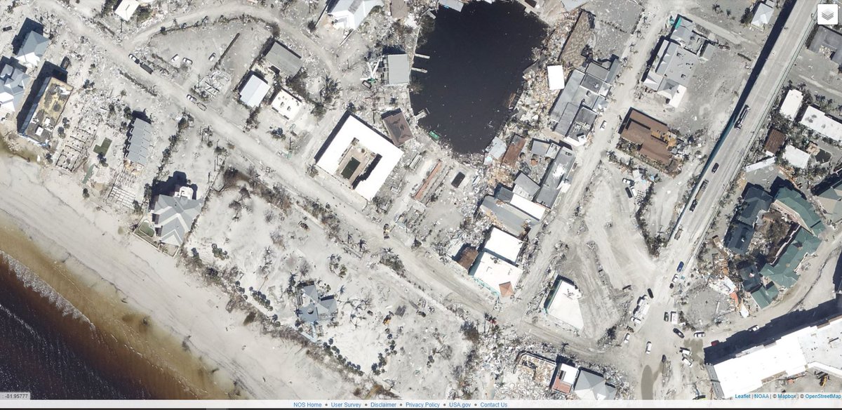
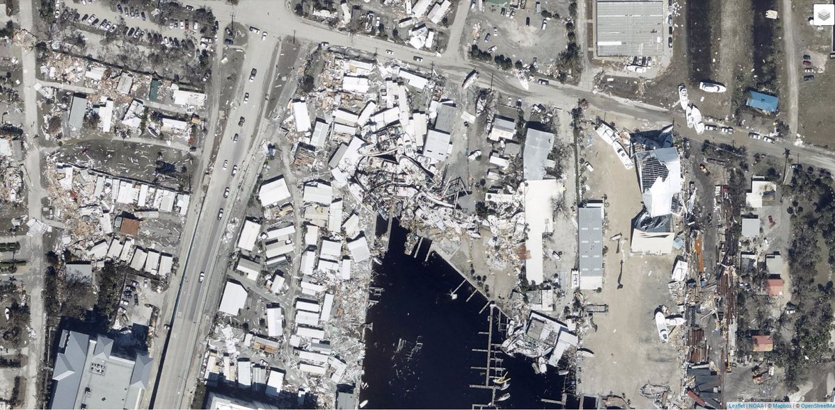
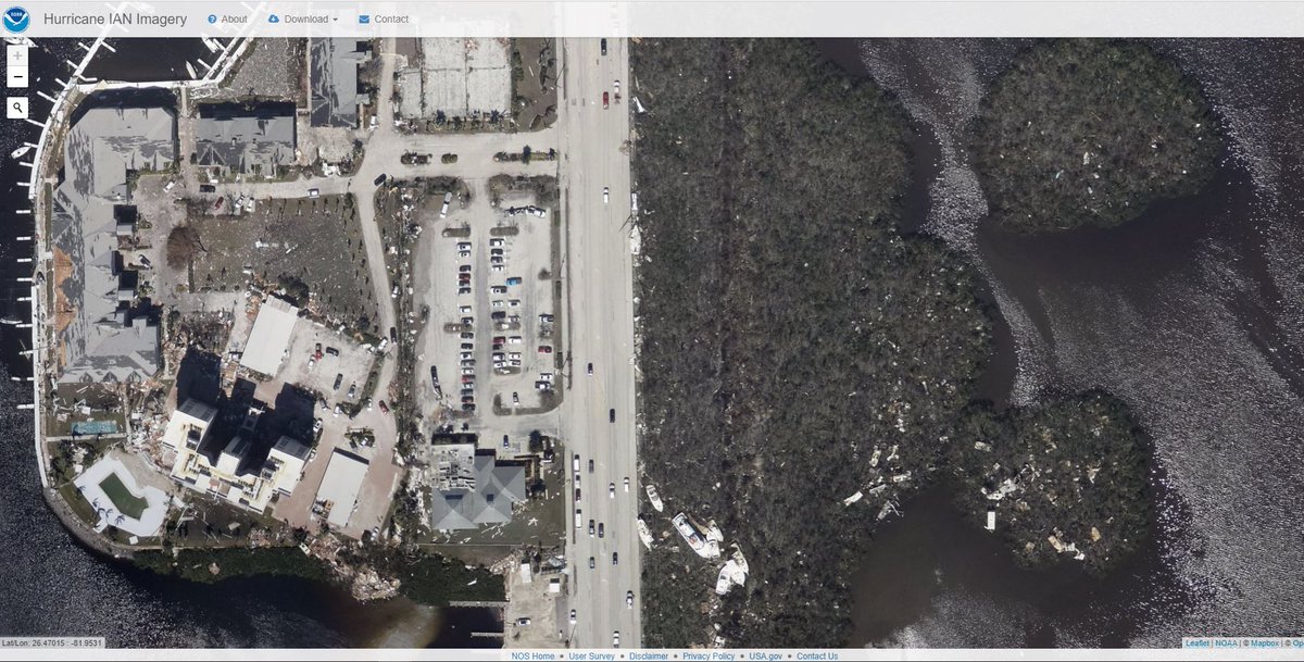
NOAA has published a remarkable tool to allow you to look at #HurricaneIAN damage in Florida and beyond.
This image shows the heart of the coverage of the satellite data - From Naples up to Venice. Imagery reveals how concentrated extreme damage is. oceanservice.noaa.gov/news/sep22/ngs…
In the long range PWAT animation in the quoted thread above you can see one possible outcome, a massive cyclone embedded in a gyre which nearly covers the entire Gulf of Mexico.
But that is still a long way off and can probably be considered a worst case scenario.
Hurricane's are not predictable at such long ranges. But large scale dynamics about atmospheric water dynamics are fairly reliable at range.
At this point the NHC remains unconvinced by Invest91L itself. And gave it just a 20% probability of formation only this morning.
The unusual, unpredictable and #ExtremeWeather of #HurricaneIAN is still continuing in the North East of the US. The remnant low has strengthened and remains parked off the Maryland coast.
This storm has now spent nearly a week over the US.
Last night I posted a fairly discursive thread looking at the Tropical Atlantic, and some threats in the long range GFS forecast - including the threat posted by the remnants of #HurricaneIan
Here we are looking in particular at the stationary low pressure center off the coast of Maryland (Top Left) in the animation above. The impacts are becoming more significant now as the remnants of #IAN - back over the Atlantic are strengthening again.
Latest HWRF model run is predicting hurricane development out of #Invest91L 2nd image shows very closely aligned track forecast data which puts this system on a very similar track into the Carribean to #HurricaneIan
Note that there is a second area of interest being monitored by NHC a further East also in Hurricane alley.
In this CMISS diagnostic animation of #Invest91L you can see it has favourable low shear conditions for further development and a fairely clear circulation.